Satellite Images
The mapping conventions (BOLTSS) should also be applied to satellite images as much as possible.
Satellite images should also include:
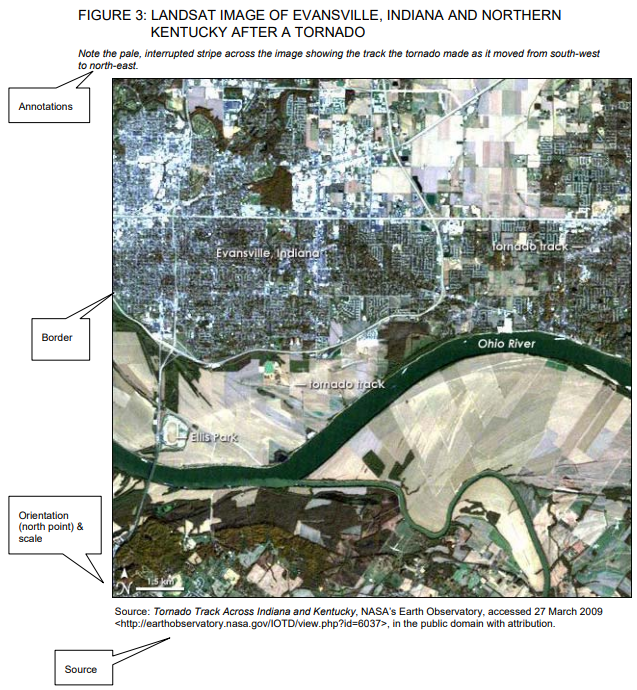
When satellite images are included in a report they must be referred to in text, e.g. Figure 3 highlights the linear spatial impact of the tornado hazard and the difficulty in predicting its path.
Satellite images should also include:
- Annotations where relevant e.g. 'Note the pale interrupted stripe across the image showing the track the tornado made as it moved from south-west to north-east'
When satellite images are included in a report they must be referred to in text, e.g. Figure 3 highlights the linear spatial impact of the tornado hazard and the difficulty in predicting its path.
Google Earth/ Google Maps
|
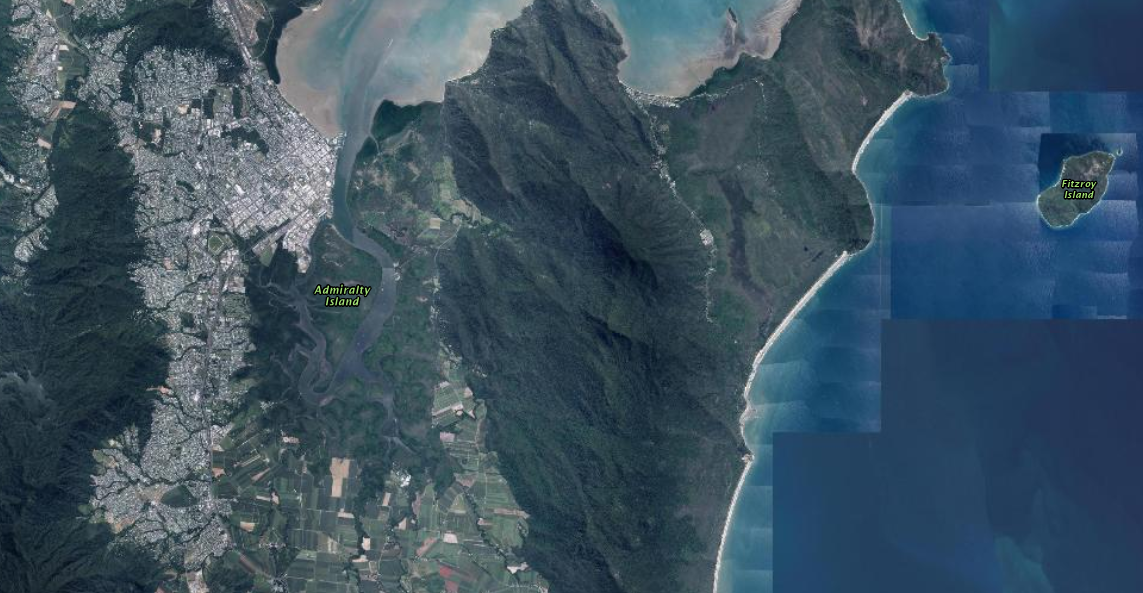
Websites: Google Earth or Google Maps
(For Google Maps, click on the Satellite box to see Satellite imagery) Examples below: |
|

|

|
Queensland Globe
|
Website: Queensland Globe (information.qld.gov.au)
You can add/remove layers by clicking on the eye (left hand side).
|

|