What is ArcGIS?
ArcGIS is a geographical information system (GIS) software that allows handling and analysing geographic information by visualising geographical statistics through layer building maps like climate data or trade flows.
It’s used by a whole host of academic institutions and departments, both in the humanities and sciences, to develop and illustrate groundbreaking research.
How Does it Work?
Like many GIS software, ArcGIS creates maps that require categories organized as layers. Each layer is registered spatially so that when they’re overlaid one on top of another, the program lines them up properly to create a complex data map. The base layer is almost always a geographical map, pulled out of a range of sources depending upon the visualization needed (satellite, road map, etc).
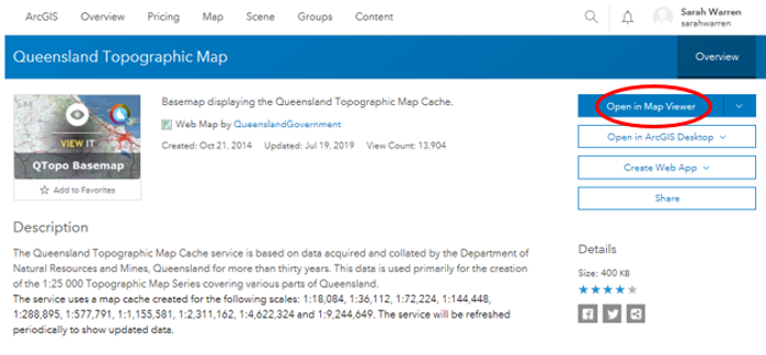
Logging In
Finding Maps
|
Click on the search icon in the top right hand corner

|
Type in your location or any other topics e.g. Queensland
Click on any of the search results. You can save any of the search results to ‘favourites’ by clicking on the star 
|
Click on ‘Open in Map Viewer’
Zooming In
Hold down the ‘shift’ key
Click and drag a box to the area you would like to zoom in on
Click and drag a box to the area you would like to zoom in on
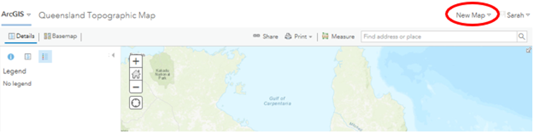
To Create a New Map
Click on ‘New Map'
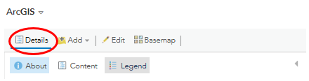
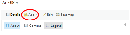
Details tab |
|
By clicking on this tab, it will remove this sidebar containing details and functions of the map

You can also do this by clicking on the little arrow (below)
Add tab |
|
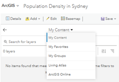
Search for Layers
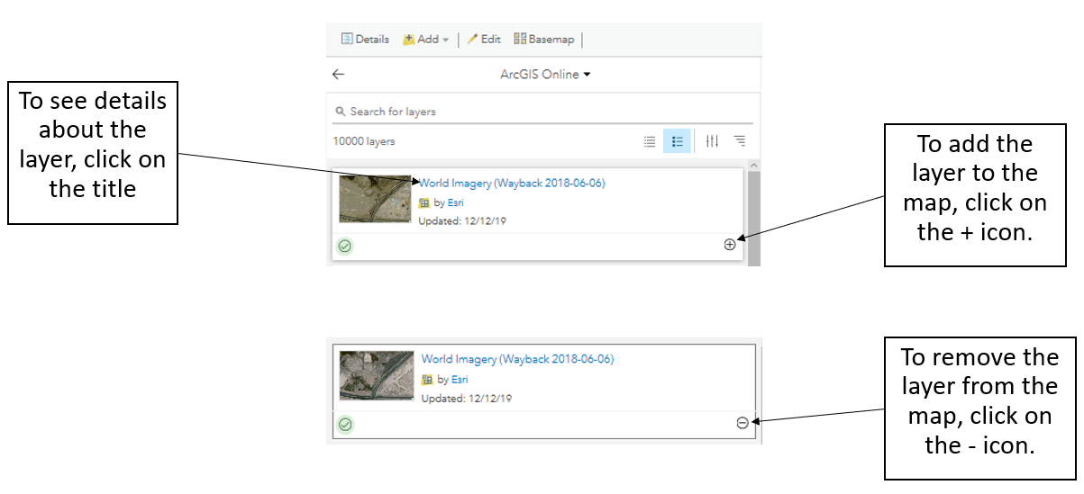
- One option for adding information to your map is to search for existing layers from your content, your favorites, groups you belong to, your organization, ArcGIS Living Atlas of the World, or ArcGIS Online as follows:
- My Content—Includes layers you own.
- My Favorites—Includes layers you’ve marked as favourites.
- My Groups—Includes layers from groups you belong to.
- Living Atlas—Includes selected layers from ArcGIS Living Atlas of the World, including traffic, demographics, and land-cover layers.
- ArcGIS Online—Includes layers you've added, layers from groups you belong to, and public layers.
|
|
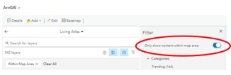
Browse Living Atlas Layers
Add Layer from Web
Add Layer from File
Add Map Notes
More information: https://doc.arcgis.com/en/arcgis-online/create-maps/add-layers.htm
- You can browse ‘Living Atlas Layers’ and add the layers directly to your map. The layers are part of ‘ArcGIS Living Atlas of the World’ and include imagery, demographics, land cover, and so on. Most of these layers are free to use on your maps and can be viewed by anyone, but some layers contain subscriber content or premium content.
Add Layer from Web
- You can add the following types of layers through a URL: ArcGIS Server web service, OGC WFS web service, OGC WMS web service, OGC WMTS web service, tile layer, KML file, GeoRSS file, and CSV file.
- Choose the ‘Add Layer from Web’ option and choose the type of web layer you want to add.
Add Layer from File
- You can add layers to your map by importing data you have stored in a delimited text file (more info: https://doc.arcgis.com/en/arcgis-online/reference/csv-gpx.htm) (.csv or .txt), GPS Exchange Format file (.gpx), GeoJSON file (.geojson or .json), or shapefile (compressed into a .zip file). A layer from a file is stored in the map.
Add Map Notes
- You can add your own data directly to a map by adding a map notes layer. These layers are useful for adding a small number of features to a map, for example, the swimming pools managed by your city's parks and recreation department. When you add a map notes layer, it is stored in the map by default.
More information: https://doc.arcgis.com/en/arcgis-online/create-maps/add-layers.htm
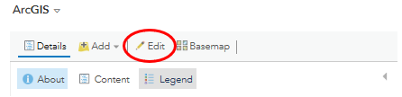
Edit tab |
|
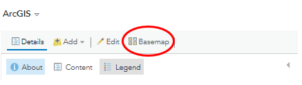
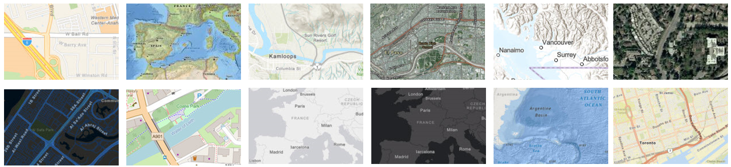
Basemap tabThis enables you to change the style of the base of the map
Examples: |
|
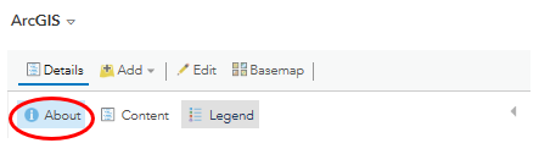
About tabProvides details about the layer
|
|
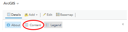
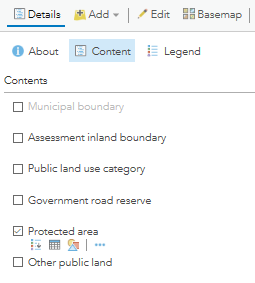
Content tabYou can select/deselect what is shown on the map.
For example, for a map showing land use, the other features may be deselected if the purpose of the map is to show where the protected areas are. ‘Protected area’ would be the only content selected to be represented on the map. |
|
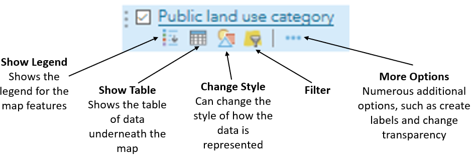
Other aspects can be changed (see below)
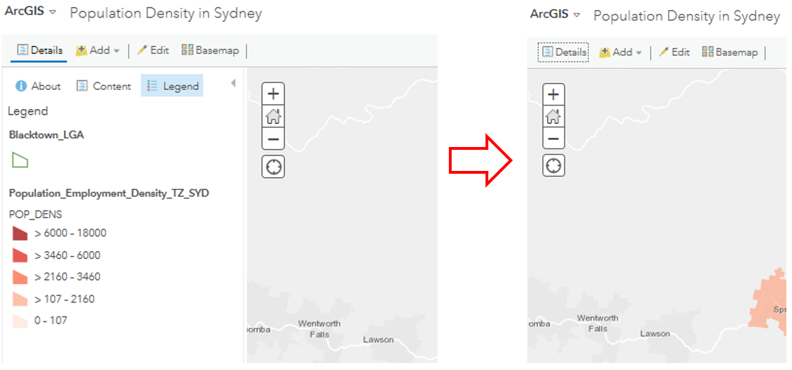
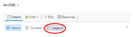
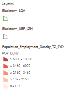
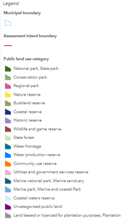
Legend tabShows the map legend
Examples: |
|
|
|
Adding a Layer from a File – Country Data
|
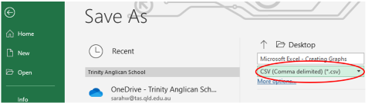
Firstly, you need to save the data on Microsoft Excel as a CVS file. Click on ‘Save As’ and click on the drop box to change the file format to .CSV
This enables ArcGIS to read the data |
|
|
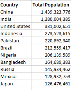
The data should clearly have the country names and data in the column next to it.
|
|
|
Log into ArcGIS
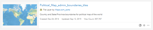
Add a political map layer Search for ‘political map’. (see picture for recommended one) Click on one of your choice and click on ‘Open in Map Viewer’ Optional: Change the Basemap |
|
|
To add your country data
Click on the ‘Add’ tab Click on ‘Add Layer from File’ You may need to change some of the options. If you are showing data for countries around the world, change the option to ‘World’ (see picture) You can change the ‘drawing style’ for how the data is represented |

|
